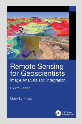
The new edition of the bestselling Remote Sensing for Geoscientists: Image Analysis and Integration expands the scope of remote sensing to cover image systems that did not exist 10 years ago when the third edition was published. It is thoroughly updated and provides examples of new capabilities using Google Earth(c) and various apps.
Read More
The new edition of the bestselling Remote Sensing for Geoscientists: Image Analysis and Integration expands the scope of remote sensing to cover image systems that did not exist 10 years ago when the third edition was published. It is thoroughly updated and provides examples of new capabilities using Google Earth(c) and various apps.
Read Less
Add this copy of Remote Sensing for Geoscientists Image Analysis and to cart. $181.64, new condition, Sold by discount_scientific_books rated 5.0 out of 5 stars, ships from Sterling Heights, MI, UNITED STATES, published 2025 by CRC Press.
Add this copy of Remote Sensing for Geoscientists: Image Analysis and to cart. $216.06, new condition, Sold by Ingram Customer Returns Center rated 5.0 out of 5 stars, ships from NV, USA, published 2025 by CRC Press.
Choose your shipping method in Checkout. Costs may vary based on destination.
Seller's Description:
New. Sewn binding. Cloth over boards. 666 p. Contains: Unspecified, Illustrations, black & white, Illustrations, color, Halftones, black & white, Halftones, color, Line drawings, black & white, Line drawings, color, Tables, black & white.
Add this copy of Remote Sensing for Geoscientists: Image Analysis and to cart. $232.12, like new condition, Sold by GreatBookPrices rated 4.0 out of 5 stars, ships from Columbia, MD, UNITED STATES, published 2025 by CRC Press.
Choose your shipping method in Checkout. Costs may vary based on destination.
Seller's Description:
Fine. Sewn binding. Cloth over boards. 666 p. Contains: Unspecified, Illustrations, black & white, Illustrations, color, Halftones, black & white, Halftones, color, Line drawings, black & white, Line drawings, color, Tables, black & white. In Stock. 100% Money Back Guarantee. Brand New, Perfect Condition, allow 4-14 business days for standard shipping. To Alaska, Hawaii, U.S. protectorate, P.O. box, and APO/FPO addresses allow 4-28 business days for Standard shipping. No expedited shipping. All orders placed with expedited shipping will be cancelled. Over 3, 000, 000 happy customers.
Add this copy of Remote Sensing for Geoscientists: Image Analysis and to cart. $232.37, new condition, Sold by GreatBookPrices rated 4.0 out of 5 stars, ships from Columbia, MD, UNITED STATES, published 2025 by CRC Press.
Choose your shipping method in Checkout. Costs may vary based on destination.
Seller's Description:
New. Sewn binding. Cloth over boards. 666 p. Contains: Unspecified, Illustrations, black & white, Illustrations, color, Halftones, black & white, Halftones, color, Line drawings, black & white, Line drawings, color, Tables, black & white. In Stock. 100% Money Back Guarantee. Brand New, Perfect Condition, allow 4-14 business days for standard shipping. To Alaska, Hawaii, U.S. protectorate, P.O. box, and APO/FPO addresses allow 4-28 business days for Standard shipping. No expedited shipping. All orders placed with expedited shipping will be cancelled. Over 3, 000, 000 happy customers.