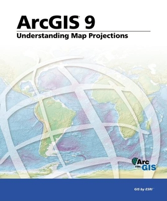
Includes brief discussion of the primary projected coordinate systems which can be used with ArcGIS.
Read More
Includes brief discussion of the primary projected coordinate systems which can be used with ArcGIS.
Read Less
Book Details
Seller
Sort
Seller Rating
Price: Low to High
Price: High to Low
Condition
Condition: Reverse
Pub Date
Pub Date: Reverse
Trade paperback,
Good
2004, Esri Press
ISBN-13:
9781589481039
See Item Details ▾
Bonita
HIGH
Santa Clarita,
CA,
USA
$36.73
Add to Cart
Add this copy of Understanding Map Projections: Arcgis 9 to cart. $36.73, good condition, Sold by Bonita rated 4.0 out of 5 stars, ships from Santa Clarita, CA, UNITED STATES, published 2004 by Esri Press.
Edition: 2004, Esri Press
Trade paperback,
Good
Details: ISBN:
1589481038
ISBN-13:
9781589481039
Pages:
120
Publisher:
Esri Press
Published:
2004
Language:
English
Alibris ID:
17907881069
Shipping Options: Standard Shipping: $4.99
Trackable Expedited: $9.99
Choose your shipping method in Checkout. Costs may vary based on destination.
Seller's Description: Good. Access codes and supplements are not guaranteed with used items. May be an ex-library book.
Hide Details ▴
ISBN-13: 9781589481039
Trade paperback